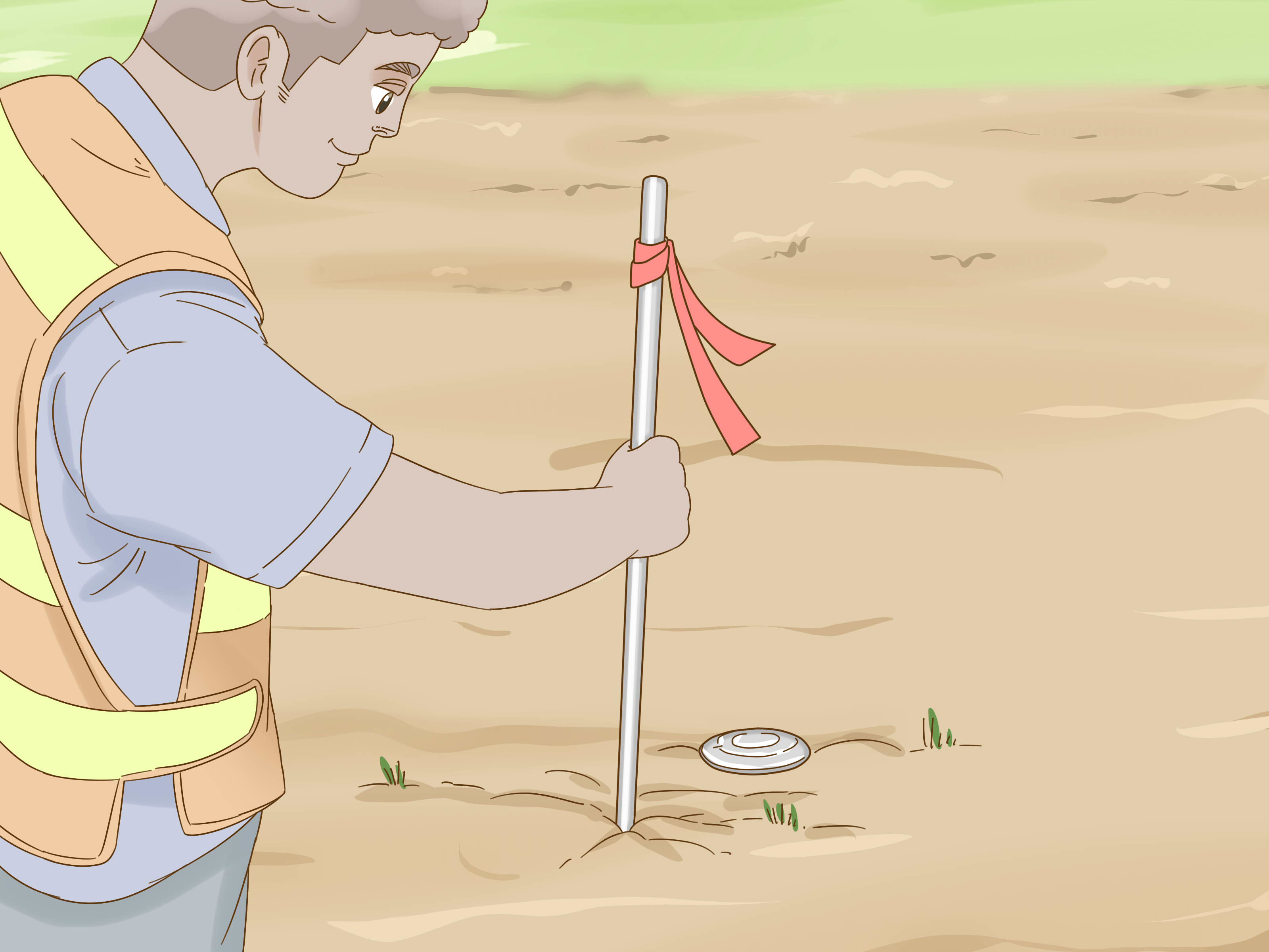
A property survey may sound like a person in a reflective vest wandering around your yard while having a serious conversation with a tripod. In reality, it is a carefully documented process that combines land records, legal principles, physical evidence, and precise field measurements.
A properly completed land survey can identify property boundaries, locate buildings and improvements, document easements, reveal encroachments, and provide information needed for construction, financing, title insurance, or a real estate transaction. Surveyors establish official boundaries for deeds, leases, and other legal documents, so this is not simply a matter of measuring the backyard with a hardware-store tape and declaring victory.
Homeowners can handle much of the preparation, research, and project coordination themselves. However, when the result must establish a legal boundary, satisfy a lender, support a permit, or resolve a dispute, the fieldwork and certification generally need to be completed by a professional land surveyor licensed in the state where the property is located.
What Is a Property Survey?
A property survey is an investigation and measured representation of a parcel of land. It compares recorded informationsuch as deeds, subdivision plats, easements, and previous surveyswith physical evidence found at the property. The final product is usually a signed and sealed survey map or plat showing the surveyor’s professional conclusions.
Depending on the scope, a survey may show:
- Boundary lines, bearings, distances, and corner monuments
- The house, garage, driveway, fences, sheds, pools, and other improvements
- Easements, rights-of-way, setbacks, and access points
- Possible encroachments by or onto neighboring property
- Topography, elevations, drainage features, or flood-related information
- Utilities or visible evidence of utility infrastructure
Online parcel maps are useful for preliminary research, but they are not legal surveys. Government GIS systems frequently warn that displayed parcel lines may be approximate and should not be used as exact boundary determinations.
How to Conduct a Property Survey in 12 Steps
Step 1: Define Why You Need the Survey
Begin by identifying the decision the survey must support. Different purposes require different information, and ordering the wrong service can produce an attractive map that does not solve your actual problem.
Common reasons for commissioning a survey include purchasing or refinancing a property, installing a fence, constructing an addition, dividing land, checking setback compliance, documenting an easement, resolving a boundary disagreement, or determining elevations in a flood-prone area.
Write down your objective in one sentence. For example: “I need the boundary marked before replacing the west-side fence,” or “My lender and title company require a survey for a commercial purchase.” This simple sentence will help a surveyor recommend the correct scope.
Step 2: Select the Appropriate Type of Survey
Not every property survey is the same. A basic boundary survey focuses on locating parcel lines and corners. A location or mortgage survey may show the relationship between the lot and its major improvements but may not include every service needed for construction.
A topographic survey maps elevations and physical features for design, grading, or drainage work. A construction survey establishes layout points for proposed improvements. A subdivision survey supports the legal division of a parcel. Commercial transactions may require an ALTA/NSPS Land Title Survey, which follows national standards covering fieldwork, records, mapping, certification, and negotiated optional items.
The 2026 ALTA/NSPS standards apply to surveys commenced on or after February 23, 2026. These detailed surveys are primarily used by lenders, title insurers, property owners, and other commercial real estate participants to evaluate survey-related title matters.
Step 3: Gather the Deed and Legal Description
Find the most recent recorded deed for the property. The deed usually contains or references a legal description identifying the land being conveyed. This description may use lot and block numbers, subdivision references, section-township-range information, or a metes-and-bounds description made up of directions and distances.
Do not rely only on the street address. An address helps the pizza delivery driver; the legal description helps identify the actual parcel.
Copies may be available from your closing documents, title company, attorney, county recorder, register of deeds, or another local land-records office. County recording offices maintain permanent archives of real estate documents, while some jurisdictions also provide recorded plats and survey maps for public inspection.
Step 4: Collect Earlier Surveys, Plats, and Title Documents
Look for previous boundary surveys, subdivision plats, site plans, easement documents, title commitments, title policies, and records concerning roads or utility rights-of-way. Ask the seller, previous owner, homeowners association, local building department, title company, or neighboring property owners whether they have relevant maps.
Earlier surveys do not automatically settle the current location of every boundary. Monuments may have been disturbed, evidence may conflict, and an old survey may not reflect later deeds or improvements. Nevertheless, these documents give the surveyor valuable clues and may reduce duplicate records research.
Provide complete documents rather than cropped screenshots. The missing page is often the page containing the one note everybody suddenly needs.
Step 5: Research Local Rules and Filing Requirements
Surveying laws, map standards, monument rules, and filing requirements vary among states and municipalities. Contact the county clerk, recorder, planning department, zoning office, building department, or county surveyor to learn what must be submitted for your project.
A fence permit may require a boundary survey or site plan. A subdivision may require a specific plat format, approval process, and recording procedure. Some jurisdictions require certain survey records to be filed when discrepancies, new monuments, or previously undocumented boundary evidence are discovered.
Local officials can explain their submission requirements, but they usually cannot determine a private boundary for you. That remains a job for a licensed land surveyor, and legal disputes may also require advice from a qualified real estate attorney.
Step 6: Hire a Licensed Professional Land Surveyor
Verify that the person responsible for the work holds an active license in your state. State licensing boards regulate professional surveying, and NCEES maintains a directory connecting consumers with member licensing boards throughout the United States. Licensure is intended to protect public health, safety, and welfare by requiring education, experience, examinations, and professional accountability.
Ask prospective surveyors about:
- Experience with similar properties and survey types
- Familiarity with the county’s land records and local standards
- The exact services included in the proposed scope
- Whether corners will be recovered, set, flagged, or witnessed
- The deliverables you will receive
- Expected access needs and scheduling considerations
- Professional liability coverage, if relevant to the project
The lowest proposal is not automatically the best value. A quote that omits corner setting, easement plotting, permit coordination, or recording may initially look inexpensive but become less charming when those services are needed later.
Step 7: Agree on a Written Scope of Work
Request a written agreement identifying the property, purpose, survey type, deliverables, fee structure, payment terms, and any client responsibilities. The agreement should state whether the surveyor will mark boundaries in the field, prepare a signed plat, locate visible improvements, research easements, show zoning setbacks, provide digital files, or record the finished survey.
Tell the surveyor who will rely on the work. A homeowner planning a fence may need something different from a lender, title insurer, architect, engineer, municipality, or commercial buyer.
Also disclose known trouble spots. Mention the disputed fence, the mysterious iron pipe, the neighbor’s garage that appears suspiciously friendly with the lot line, and any recent construction. Surprises are entertaining at birthday parties, not during boundary research.
Step 8: Prepare the Property for Fieldwork
Make the parcel reasonably accessible. Unlock gates, control pets, remove temporary obstacles where practical, and identify hazards such as unstable structures, aggressive animals, dense poison ivy, wells, steep slopes, or construction activity.
Do not move stakes, pipes, rebar, stones, or monuments that might represent survey evidence. A marker that looks like rusty yard clutter may be legally significant. Let the surveyor evaluate it before anyone introduces it to the recycling bin.
If the surveyor will need access across neighboring land, discuss permission in advance. Surveyor right-of-entry laws differ by state and do not eliminate the value of courteous communication. A brief explanation can prevent the neighbor from assuming that an unexpected tripod is the opening scene of a property takeover.
Step 9: Let the Surveyor Complete Records Research
A professional boundary determination usually begins before the field crew reaches the property. The surveyor may review deeds, plats, prior surveys, adjoining legal descriptions, road records, easements, public land records, and other evidence relevant to the parcel.
This research is important because boundary surveying is not based solely on coordinates or fresh measurements. The surveyor must consider the controlling legal description, earlier conveyances, monuments, occupation lines, and relationships among neighboring parcels.
The Bureau of Land Management describes cadastral surveying as work that creates, defines, marks, or reestablishes land boundaries. Its records and Public Land Survey System resources can be particularly relevant in many western and midwestern states.
Step 10: Complete the Field Investigation and Measurements
During fieldwork, the crew searches for existing corner monuments and other physical evidence. It may locate fences, walls, buildings, driveways, utility features, roads, waterways, and signs of occupation. Measurements may be collected using robotic total stations, GNSS receivers, levels, data collectors, and traditional equipment.
Modern technology does not turn surveying into a push-button exercise. Satellite positioning must be tied to appropriate control and checked through professional procedures. NOAA’s National Geodetic Survey provides the national framework supporting precise latitude, longitude, elevation, and positioning activities.
The crew may uncover conflicting evidencefor example, a fence that does not match the record line or two earlier maps that disagree. The surveyor must analyze the evidence rather than simply selecting the answer that creates the tidiest drawing.
Step 11: Review the Draft or Final Survey Plat
When the survey is complete, carefully review the map and accompanying report. Confirm that your name, property address, legal description, survey date, north arrow, scale, legend, certification, and surveyor information are correct.
Look for boundary dimensions, monuments, structures, fences, easements, rights-of-way, access points, setbacks, and encroachments. Not every survey includes all these items, so compare the deliverable with the written scope rather than assuming that every visible feature should appear.
Ask the surveyor to explain unfamiliar symbols and notes. Important findings may be expressed in technical language, such as “record,” “measured,” “found monument,” “set monument,” “overlap,” “gap,” or “encroachment.” A survey map should not become a framed piece of abstract art that nobody in the household understands.
Step 12: Resolve Issues and Preserve the Survey
If the survey reveals a fence, shed, driveway, retaining wall, or building crossing a boundary, do not immediately demolish anything or begin a dramatic conversation over the hedge. First, ask the surveyor to explain the finding and its level of certainty.
Depending on the situation, the next step might involve a title company, lender, zoning official, neighbor, real estate attorney, boundary-line agreement, easement, correction deed, permit application, or additional survey work. A surveyor locates and documents boundary evidence, but a survey alone may not resolve questions of ownership, prescriptive rights, adverse possession, or disputed title.
Keep the signed and sealed survey with your deed, title policy, closing papers, permits, and construction records. Retain both paper and digital copies. Before installing a fence, mailbox, tree, foundation, or other project involving excavation, contact 811 so underground utilities can be marked. The national 811 service advises contacting the appropriate state center before any digging project.
Special Considerations for Flood Zones and Elevations
If the parcel is in or near a mapped flood hazard area, a standard boundary survey may not provide all the elevation information needed for insurance, construction, or floodplain compliance. Review the property through FEMA’s Flood Map Service Center, the official public source for National Flood Insurance Program flood hazard information.
An Elevation Certificate may need to be prepared and certified by a land surveyor, engineer, or architect authorized under state law. It documents building elevation information used for floodplain management and other purposes. Confirm the required professional and form version with the local floodplain administrator before ordering the work.
Common Property Survey Mistakes to Avoid
Treating a GIS Line as the Legal Boundary
Parcel viewers are excellent research tools, but their lines may be shifted because of scale, projection, source-data limitations, or generalized mapping. Use them to understand the neighborhood, not to position a permanent fence.
Assuming the Existing Fence Is Correct
A fence may have been installed for privacy, convenience, landscaping, or the path of least resistance around a large tree. Its location is evidence of occupation, but it does not automatically establish the legal boundary.
Removing an Old Corner Marker
Never move or destroy a suspected monument. Photograph it, protect the area, and show it to the surveyor. A battered iron rod may be worth approximately three dollars as scrap and considerably more as boundary evidence.
Ordering the Survey Too Late
Do not wait until the fence crew, excavation contractor, architect, lender, and closing agent are all tapping their watches. Records problems, vegetation, missing monuments, access limitations, weather, and complex title histories can extend the process.
Failing to Explain the Intended Use
A survey prepared for one purpose may not meet the standards required for another. Tell the surveyor about every known user and deadline before the scope is finalized.
Practical Experiences and Lessons From Property Survey Projects
Property surveys often teach homeowners that the landscape they see and the parcel described in public records are relatedbut not necessarily identical twins.
One common experience involves a fence that has quietly become the “boundary” through years of lawn mowing and neighborly assumption. When a survey is ordered for replacement, the measured line may fall several inches or even several feet away. The useful lesson is to investigate before tearing out the old fence. Confirm the boundary, speak calmly with the neighbor, and review local permit or setback requirements before construction begins.
Another recurring situation is the vanishing corner monument. Owners may expect four shiny stakes standing politely at each corner. Instead, the crew may search beneath soil, roots, pavement, landscaping fabric, or decades of accumulated yard improvements. A monument might be a rebar, iron pipe, stone, concrete marker, nail, or another object described in prior records. Finding and evaluating it can require far more work than measuring between visible points.
Wooded and rural parcels bring their own personality. Dense vegetation, steep terrain, creeks, old wire fences, and long distances between corners can complicate access and measurement. Clearing a narrow path with the surveyor’s approval may help, but uncontrolled clearing can destroy evidence. It is better to ask where access is needed than to send a brush mower on an enthusiastic voyage through the property.
Urban lots can be physically smaller yet legally complicated. A narrow driveway may cross an easement. Roof eaves may extend over a line. A garage could sit close to a setback, and utility rights may occupy part of the backyard. On these properties, owners benefit from requesting a survey that shows improvements and relevant recorded easements rather than ordering only corner marking.
Commercial buyers often discover that the phrase “get a survey” leaves too much undecided. The lender, title insurer, buyer, attorney, and engineer may each expect different information. A written survey instruction package identifying the required ALTA/NSPS Table A items can prevent revisions and repeated field visits. Coordinating these requests before fieldwork is generally easier than adding them days before closing.
Boundary disagreements also demonstrate the value of restraint. When a result differs from a neighbor’s belief, presenting the signed survey and inviting a professional explanation is more productive than relocating a fence post under cover of darkness. A surveyor can explain the evidence and conclusions, while an attorney can address legal rights when the parties cannot reach agreement.
Perhaps the most useful experience is learning to preserve the finished work. Owners sometimes receive a survey, use it for one project, and then lose it during a move or computer replacement. Years later, another survey must be commissioned because nobody can locate the original. Store the signed plat in multiple places and transfer it to future owners with other important property records.
Conclusion
Conducting a property survey is best understood as a coordinated process rather than a weekend measuring project. Define the purpose, select the correct survey type, gather reliable records, verify local requirements, and hire a properly licensed professional. Then provide access, review the final plat, address problems carefully, and preserve the completed documents.
The survey may confirm that everything is exactly where you expected. It may also reveal that the fence, driveway, easement, and online parcel map have been telling four slightly different stories. Either result is valuable because accurate information is much cheaper to obtain before a purchase, permit application, or construction project than after a boundary conflict begins.
Note: This article provides general educational information for property owners in the United States. Surveying laws, recording rules, right-of-entry provisions, permit requirements, and boundary-dispute procedures vary by jurisdiction. Consult a licensed land surveyor, local government office, title professional, or real estate attorney for advice concerning a particular parcel.